


Researchers have developed a tool to help local agencies in Minnesota make cost-effective decisions about pavement markings in their counties. The spreadsheet-based tool was developed as part of a recent study by the Minnesota Local Road Study Committee.
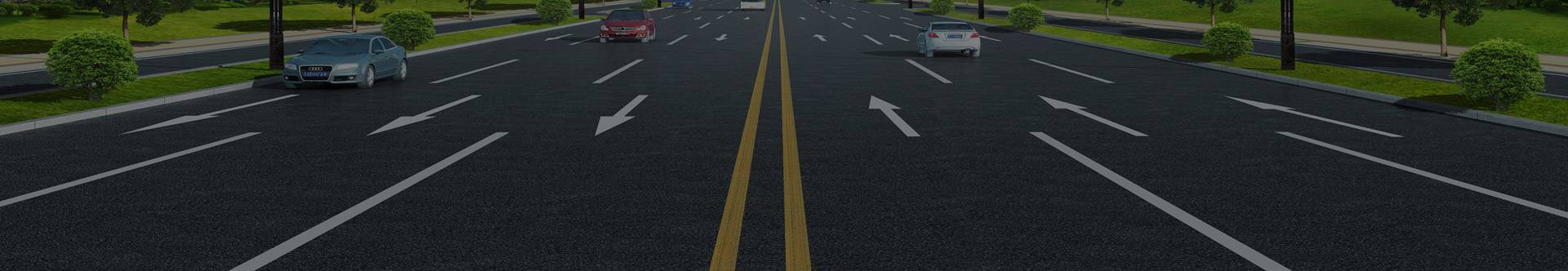
Minnesota has many miles of low-volume roadways, most of which are marked with a yellow center line and white shoulder lines. Applying and maintaining these markings represents a significant financial investment for local agencies, which often operate on tight budgets. Agencies need more information about the cost and initial and ongoing costs of typical 4-inch and enhanced 6-inch pavement markings on low-volume roadways. They also need guidance and recommendations on how to prioritize installation and maintenance of pavement markings within their budget constraints.
The objective of this study is to develop a prioritisation method and decision-making tool for the use of road markings on low-volume roads based on their benefits and costs. Local authorities can then use these resources to make cost-effective decisions on road marking installation and maintenance.
The researchers used a multi-step approach to identify key information and methods for road surface markings:
• A literature search was conducted to identify existing studies of typical (4-inch) and enhanced (6-inch) pavement markings, focusing on their benefits (e.g., crash reduction and improved lane keeping), costs, and current maintenance practices. • Minnesota counties were surveyed to examine their current pavement marking practices and methods. • Existing county highway safety plan (CRSP) methodologies were reviewed to understand the research and data used to rank high-risk roadway segments and to identify strategies for improving CRSP, specifically the range of pavement markings recommended by CRSP.
The researchers were then able to develop a prioritization approach and decision-making tool that combined the findings of previous research and the state of local practice. In addition to producing a final report outlining the mission’s findings, they also produced a brochure explaining the methodology, tools, and implementation steps.
“This innovative tool will help local agencies make decisions about pavement markings under tight budget constraints, where the question is always how best to allocate funds among competing needs. This tool clarifies the issues and helps prioritize possible solutions,” said David Veneziano, a participant in the LTAP Safety Tour at the Iowa State University Transportation Research Institute.
A literature search revealed limited research on the use and effectiveness of traditional road markings on local roads. Road markings improve safety, including reducing accident rates, but have no real effect on vehicle speed, suggesting that road markings cannot change driver behavior. There have been limited studies in the literature examining the prioritization and management of road markings.
A survey of local agencies in Minnesota found that most counties use centerlines and/or edge lines, likely as a result of Minnesota Department of Transportation public assistance rules. Some counties mark all roads; most use 4-inch latex or epoxy paint markings. The repainting schedule depends on the age of the road, the condition of the markings, and the county budget.
A review of Minnesota county road marking plans shows that they include recommendations for pavement markings. CRSP recommends an average of 109 miles of pavement markings per county. It costs about 5 cents to install one foot of centerline; 100 miles of centerline costs $26,400. Because of the broad scope of these recommendations, the researchers directly incorporated CRSP methods and guidelines into their prioritization methods and tools.
The spreadsheet tool developed during the project allows users to input roadway characteristics such as pavement condition, road width, CRSP rating, and traffic volume, as well as the age, cost, durability, and crash reduction potential of existing markings. Roadway marking options include centerlines and/or edge lines, high-visibility markings, and heavy-duty materials. The tool uses weighting factors to assign a relative importance to each criterion for any potential marking approach compared to other alternatives. The result is an assessment of the effectiveness of each labeled alternative. In this way, the tool not only helps identify the physical aspects of a roadway section, but also takes into account agency preferences, priorities, and budgets through a priority weighting function to generate a cost or cost range for a labeled project.
Recommendations for further study include conducting a follow-up survey of users of the new spreadsheet tool to facilitate future revisions, creating a database of roadway characteristics to make the tool easier for agencies to use, and conducting additional research on the safety and other effects of road markings. The researchers also urged agencies to consider the proposed national rule on retroreflective devices in the Manual on Uniform Traffic Control Devices, which could impact road marking practices on low-volume roads. The rule has not yet been finalized or implemented.
Post time: Mar-07-2025